FLOOD-ZONE MAP FEMA NFHL · LIVE Where the high-risk flood zones are in Columbia
This is Columbia drawn live from FEMA’s National Flood Hazard Layer. Every shaded area is a
Special Flood Hazard Area, a high-risk zone where a federally backed mortgage requires flood
insurance, and the first thing a carrier checks after a water loss. Your homeowners policy does not cover
flood; that takes a separate NFIP or private flood policy. Pan and zoom to your street to see your zone.
FEMA FLOOD ZONES · COLUMBIA Loading live data…
Zone VE
Coastal high-hazard. Storm surge with waves on top, the most dangerous zone, along the open water.
Zone AE
The 1%-annual-chance floodplain (the “100-year” zone). FEMA sets a Base Flood Elevation here.
A / AH / AO
Other high-risk areas, shallow sheet flooding, ponding, or floodplain not yet studied in detail.
Unshaded (X)
Moderate-to-low risk, not no risk. Over a quarter of federal flood claims come from outside the high-risk zones.
Drawn live from FEMA’s National Flood Hazard Layer. Absence of shading is not a guarantee against flooding; confirm your exact address at the
FEMA Map Service Center.
LIVE CONDITIONS NWS · NOAA · LIVE Radar, forecast & tides for Columbia
Live from the National Weather Service and NOAA, the local Doppler loop, the official 7-day forecast, and the
next high and low tides. Tides and surge timing decide how bad a coastal flood gets; a storm arriving at high
tide floods far more than the same storm at low tide.
DOPPLER RADAR · KCAENWS NEXRAD · IEM

Source: NOAA National Weather Service & CO-OPS Tides & Currents, public domain. Tide heights are predictions
(datum MLLW), not observed water levels. During a storm, follow official NWS warnings, not this page.
How the risk changes across Columbia
Flood exposure is hyper-local. These are the broad patterns by area, keyed to FEMA zones and the way water
moves here, surge off the bay, the Richland County river system, and low interior drainage. General
reference only; confirm your exact address on the map above.
Forest Acres / Gills Creek AE
RIVER FLOOD
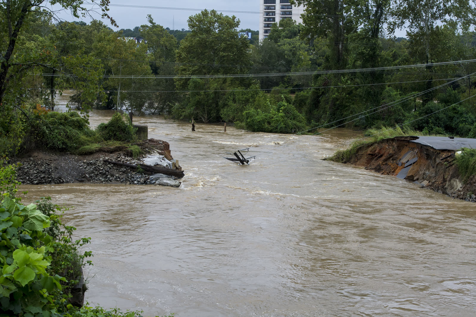
The epicenter of the October 2015 flood, Gills Creek and a chain of failed dams put feet of water into these streets.
Rosewood AE
SURGE + FLOOD
Low neighborhood near the Congaree and Rocky Branch; repeat AE flooding when the creeks and rain stack up.
Five Points AE
RIVER FLOOD
Sits over Rocky Branch creek; flash flooding fills the low blocks during heavy rain.
Congaree Vista / Downtown AE
RIVER FLOOD
The riverfront district along the Congaree, AE flooding when the river rises.
Olympia / Granby AE
RIVER FLOOD
Old mill village low on the Congaree; riverine AE flooding after prolonged rain.
Arcadia Lakes AE
RIVER FLOOD
Lake-and-dam neighborhood on the Gills Creek chain, dam overtopping drove severe 2015 flooding.
Shandon X / AE pockets
SURGE + FLOOD
Established interior neighborhood, mostly higher X ground with low AE pockets along drainage.
Northeast Columbia / Sandhills X / creek AE
INLAND / LOWER
Higher sandhill ground, mostly X, with localized AE flooding along ponds and creeks.
LOCAL RESOURCES GOV · NOAA · FEMA Columbia disaster, insurance & mitigation resources
The official sources, emergency management, weather, insurance regulators, and property maps. Links open in a
new tab; agencies change their sites, so if one has moved, search the agency name.
Shelter, food & immediate help
Debris, cleanup & rebuilding
Maps, property & mitigation
Links to government & NOAA sources, public domain. Listing a resource is not endorsement. Flood zones and
elevations are general reference; confirm your exact address with the official source before acting.